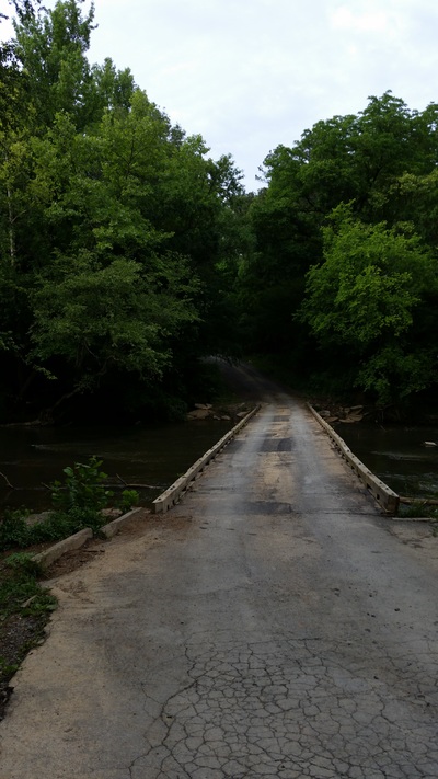
High Pine Church Road Bridge to Low Water Bridge Access Information
Put-In Location
The access location is located just east of the bridge that goes over the Uwharrie River. There is a small wooded trail on the north side of the road that will take you down under the bridge to the put in. Be careful here as it can get slick. Parking is on the road, so mind your parking space and location for hazards.
Approximate Address:
(just east of)
8181 High Pine Church Rd
Asheboro NC 27025
Estimated Miles: 7.42 miles
Estimated Time to Complete: Around 5 hours (depending on water flow)
Take Out Location
Low Water Bridge gets it's name for a reason. At normal level, you could probably not even get a kayak to go under the bridge. There is a paved ramp river right before the bridge as well as one on the other side of the bridge to be able to put your boat back in. There is a nice parking area just above the river.


